METAR-TAF
Airports :
Mitiga International Airport
Tripoli, Libya
latitude: 32-54N, longitude: 13-17E, elevation: 11 m
Current weather observation
The report was made 23 minutes ago, at 02:00 UTC
Wind 5 kt from the East/Southeast
Temperature 26°C
Humidity 42%
Pressure 1015 hPa
Visibility: 7000 m
METAR: HLLM 250200Z 12005KT 7000 NSC 26/12 Q1015
Time: 04:23 (02:23 UTC)
Forecast
The report was made 3 hours and 23 minutes ago, at 23:00 UTC
Forecast valid from 25 at 00 UTC to 25 at 24 UTC
Wind 15 kt from the East
Visibility: 8000 m
TAF: HLLM 242300Z 2500/2524 09015KT 8000 NSC
Weather observations and forecasts of more than 4000 airports (METAR and TAF reports).
The available stations are represented by yellow and red dots on the map.
Hover mouse over dot to see the name of the station.
Then click to see weather observations and forecasts.
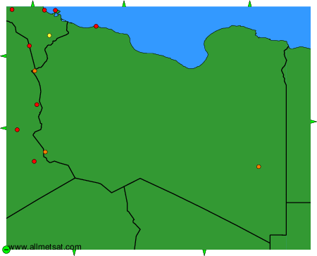
To change the map : click on the green buttons with a black cross to zoom in, on the green button with a dash to zoom out, or on the green arrows for adjacent maps.