METAR-TAF
Airports :
Prince Said Ibrahim International Airport
Moroni, Comoros
latitude: 11-32S, longitude: 043-16E, elevation: 29 m
Current weather observation
The report was made 27 minutes ago, at 13:00 UTC
Wind 19 kt from the South/Southwest
Temperature 28°C
Humidity 55%
Pressure 1016 hPa
Visibility 10 km or more
Few clouds at a height of 2300 ft
METAR: FMCH 261300Z 21019KT 9999 FEW023 28/18 Q1016 NOSIG
Time: 16:27 (13:27 UTC)
Forecast
The report was made 2 hours and 27 minutes ago, at 11:00 UTC
Forecast valid from 26 at 12 UTC to 27 at 18 UTC
Wind 22 kt from the Southwest
Visibility 10 km or more
Few clouds at a height of 2000 ft
Scattered clouds at a height of 3000 ft
Scattered clouds at a height of 3000 ft
Becoming
from 26 at 17 UTC to 26 at 19 UTC
from 26 at 17 UTC to 26 at 19 UTC
Wind 7 kt from the East/Southeast
Becoming
from 27 at 06 UTC to 27 at 08 UTC
from 27 at 06 UTC to 27 at 08 UTC
Wind 14 kt from the South/Southwest
Becoming
from 27 at 16 UTC to 27 at 18 UTC
from 27 at 16 UTC to 27 at 18 UTC
Wind 5 kt from the East/Southeast
TAF: FMCH 261100Z 2612/2718 22022KT 9999 FEW020 SCT030 BECMG 2617/2619 12007KT BECMG 2706/2708 20014KT BECMG 2716/2718 11005KT
Weather observations and forecasts of more than 4000 airports (METAR and TAF reports).
The available stations are represented by yellow and red dots on the map.
Hover mouse over dot to see the name of the station.
Then click to see weather observations and forecasts.
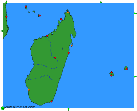
To change the map : click on the green buttons with a black cross to zoom in, on the green button with a dash to zoom out, or on the green arrows for adjacent maps.