METAR-TAF
Airports :
Dzaoudzi–Pamandzi International Airport
Dzaoudzi, Mayotte
latitude: 12-48S, longitude: 045-17E, elevation: 8 m
Current weather observation
The report was made 21 minutes ago, at 03:00 UTC
Wind 12 kt from the South/Southwest
Temperature 24°C
Humidity 78%
Pressure 1018 hPa
Visibility 10 km or more
no clouds below 1500 m and no cumulonimbus
METAR: FMCZ 040300Z AUTO 21012KT CAVOK 24/20 Q1018 NOSIG
Time: 06:21 (03:21 UTC)
Forecast
The report was made 4 hours and 21 minutes ago, at 23:00 UTC
Forecast valid from 04 at 00 UTC to 04 at 24 UTC
Wind 12 kt from the South
Visibility 10 km or more
Few clouds at a height of 3000 ft
TAF: FMCZ 032300Z 0400/0424 17012KT 9999 FEW030
Weather observations and forecasts of more than 4000 airports (METAR and TAF reports).
The available stations are represented by yellow and red dots on the map.
Hover mouse over dot to see the name of the station.
Then click to see weather observations and forecasts.
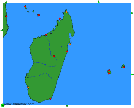
To change the map : click on the green buttons with a black cross to zoom in, on the green button with a dash to zoom out, or on the green arrows for adjacent maps.