METAR-TAF
Airports :
Ivato International Airport
Antananarivo, Madagascar
latitude: 18-48S, longitude: 047-29E, elevation: 1279 m
Current weather observation
The report was made 7 minutes ago, at 05:00 UTC
Wind 3 kt from the South/Southeast, varying between East/Southeast and South
Temperature 12°C
Humidity 94%
Pressure 1022 hPa
Visibility 10 km or more
Few clouds at a height of 1000 ft
METAR: FMMI 260500Z 15003KT 110V190 9999 FEW010 12/11 Q1022 NOSIG
Time: 08:07 (05:07 UTC)
Forecast
The report was made 6 hours and 7 minutes ago, at 23:00 UTC
Forecast valid from 26 at 00 UTC to 27 at 06 UTC
Wind 3 kt from variable directions
Visibility 10 km or more
Few clouds at a height of 1700 ft
Probability 30%
from 26 at 00 UTC to 26 at 06 UTC
from 26 at 00 UTC to 26 at 06 UTC
Visibility: 0800 m
Broken clouds at a height of 400 ft
fog
TAF: FMMI 252300Z 2600/2706 VRB03KT 9999 FEW017 PROB30 2600/2606 0800 FG BKN004
Weather observations and forecasts of more than 4000 airports (METAR and TAF reports).
The available stations are represented by yellow and red dots on the map.
Hover mouse over dot to see the name of the station.
Then click to see weather observations and forecasts.
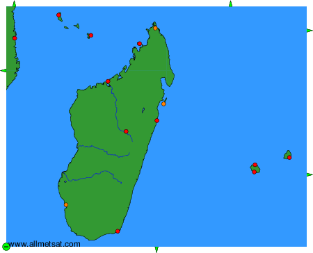
To change the map : click on the green buttons with a black cross to zoom in, on the green button with a dash to zoom out, or on the green arrows for adjacent maps.