METAR-TAF
Airports :
Arrachart Airport
Antsiranana, Madagascar
latitude: 12-21S, longitude: 049-18E, elevation: 114 m
Current weather observation
The report was made 1 hour and 2 minutes ago, at 09:00 UTC
Wind 8 kt from the Southeast
Temperature 30°C
Humidity 40%
Pressure 1016 hPa
Visibility 10 km or more
Few clouds at a height of 2000 ft
METAR: FMNA 020900Z 14008KT 9999 FEW020 30/15 Q1016
Time: 13:02 (10:02 UTC)
Forecast
The report was made 5 hours and 2 minutes ago, at 05:00 UTC
Forecast valid from 02 at 06 UTC to 03 at 06 UTC
Wind 18 kt from the Southeast with gusts up to 32 kt
Visibility 10 km or more
Few clouds at a height of 2000 ft
Becoming
from 02 at 12 UTC to 02 at 14 UTC
from 02 at 12 UTC to 02 at 14 UTC
Wind 14 kt from the Southeast
TAF: FMNA 020500Z 0206/0306 14018G32KT 9999 FEW020 BECMG 0212/0214 14014KT
Weather observations and forecasts of more than 4000 airports (METAR and TAF reports).
The available stations are represented by yellow and red dots on the map.
Hover mouse over dot to see the name of the station.
Then click to see weather observations and forecasts.
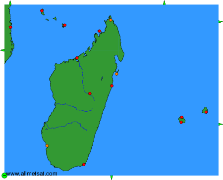
To change the map : click on the green buttons with a black cross to zoom in, on the green button with a dash to zoom out, or on the green arrows for adjacent maps.