METAR-TAF
Airports :
Amborovy Airport
Mahajanga, Madagascar
latitude: 15-40S, longitude: 046-21E, elevation: 26 m
Current weather observation
The report was made 25 minutes ago, at 13:00 UTC
Wind 10 kt from the Northwest, varying between West and North/Northwest
Temperature 29°C
Humidity 55%
Pressure 1015 hPa
Visibility 10 km or more
Few clouds at a height of 2300 ft
METAR: FMNM 091300Z 31010KT 270V330 9999 FEW023 29/19 Q1015 NOSIG
Time: 16:25 (13:25 UTC)
Forecast
The report was made 2 hours and 25 minutes ago, at 11:00 UTC
Forecast valid from 09 at 12 UTC to 10 at 12 UTC
Wind 13 kt from the Northwest
Visibility 10 km or more
Few clouds at a height of 2300 ft
Becoming
from 09 at 18 UTC to 09 at 21 UTC
from 09 at 18 UTC to 09 at 21 UTC
Wind 5 kt from the South
Becoming
from 10 at 08 UTC to 10 at 10 UTC
from 10 at 08 UTC to 10 at 10 UTC
Wind 12 kt from the Northwest
TAF: FMNM 091100Z 0912/1012 32013KT 9999 FEW023 BECMG 0918/0921 17005KT BECMG 1008/1010 32012KT
Weather observations and forecasts of more than 4000 airports (METAR and TAF reports).
The available stations are represented by yellow and red dots on the map.
Hover mouse over dot to see the name of the station.
Then click to see weather observations and forecasts.
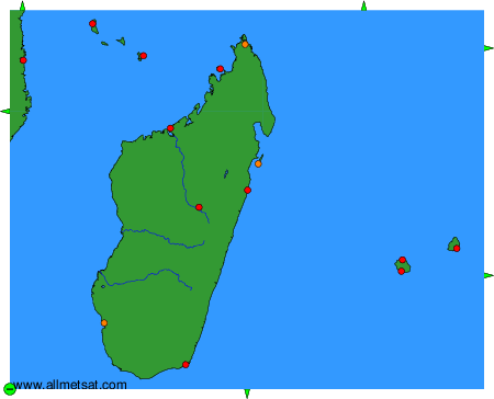
To change the map : click on the green buttons with a black cross to zoom in, on the green button with a dash to zoom out, or on the green arrows for adjacent maps.