METAR-TAF
Airports :
Tôlanaro Airport
Tôlanaro, Madagascar
latitude: 25-02S, longitude: 046-57E, elevation: 26 ft
Current weather observation
The report was made 28 minutes ago, at 05:00 UTC
Wind 12 mph from the West/Northwest
Temperature 70°F
Humidity 78%
Pressure 30.03 in. Hg
Visibility 6.2 miles or more
Few clouds at a height of 1700 ft, Towering cumulus.
METAR: FMSD 210500Z 30010KT 9999 FEW017TCU 21/17 Q1017
Time: 08:28 (05:28 UTC)
Forecast
The report was made 28 minutes ago, at 05:00 UTC
Forecast valid from 21 at 06 UTC to 22 at 06 UTC
Wind 6 mph from the West/Northwest
Visibility 6.2 miles or more
Few clouds at a height of 2000 ft
Becoming
from 21 at 08 UTC to 21 at 11 UTC
from 21 at 08 UTC to 21 at 11 UTC
Wind 14 mph from the South/Southwest with gusts up to 26 mph
Becoming
from 21 at 16 UTC to 21 at 18 UTC
from 21 at 16 UTC to 21 at 18 UTC
Wind 5 mph from the North/Northwest
TAF: FMSD 210500Z 2106/2206 29005KT 9999 FEW020 BECMG 2108/2111 21012G23KT BECMG 2116/2118 34004KT
Weather observations and forecasts of more than 4000 airports (METAR and TAF reports).
The available stations are represented by yellow and red dots on the map.
Hover mouse over dot to see the name of the station.
Then click to see weather observations and forecasts.
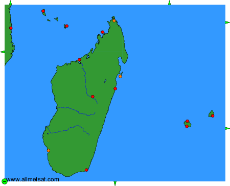
To change the map : click on the green buttons with a black cross to zoom in, on the green button with a dash to zoom out, or on the green arrows for adjacent maps.