METAR-TAF
Airports :
Pemba Airport
Pemba, Mozambique
latitude: 12-59S, longitude: 040-32E, elevation: 101 m
Current weather observation
The report was made 5 minutes ago, at 08:00 UTC
Temperature 27°C
Humidity 79%
Pressure 1017 hPa
Visibility 10 km or more
Few clouds at a height of 2000 ft
Broken clouds at a height of 10000 ft
Broken clouds at a height of 10000 ft
METAR: FQPB 200800Z /////KT 9999 FEW020 BKN100 27/23 Q1017
Time: 10:05 (08:05 UTC)
Forecast
The report was made 4 hours and 5 minutes ago, at 04:00 UTC
Forecast valid from 20 at 06 UTC to 21 at 06 UTC
Wind 3 kt from variable directions
Visibility 10 km or more
Few clouds at a height of 2000 ft
Becoming
from 20 at 12 UTC to 20 at 14 UTC
from 20 at 12 UTC to 20 at 14 UTC
Wind 8 kt from the Southeast
Becoming
from 20 at 18 UTC to 20 at 20 UTC
from 20 at 18 UTC to 20 at 20 UTC
Wind 3 kt from variable directions
TAF: FQPB 200400Z 2006/2106 VRB03KT 9999 FEW020 TX28/2013Z TN19/2103Z BECMG 2012/2014 13008KT BECMG 2018/2020 VRB03KT
Weather observations and forecasts of more than 4000 airports (METAR and TAF reports).
The available stations are represented by yellow and red dots on the map.
Hover mouse over dot to see the name of the station.
Then click to see weather observations and forecasts.
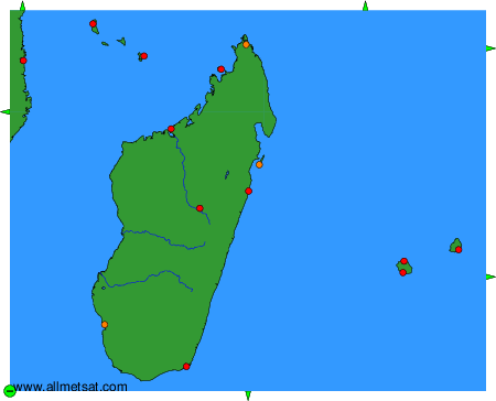
To change the map : click on the green buttons with a black cross to zoom in, on the green button with a dash to zoom out, or on the green arrows for adjacent maps.