METAR-TAF
Airports :
Ouagadougou Airport
Ouagadougou, Burkina Faso
latitude: 12-21N, longitude: 001-31W, elevation: 316 m
Current weather observation
The report was made 38 minutes ago, at 00:00 UTC
Wind 6 kt from the South
Temperature 28°C
Humidity 66%
Pressure 1016 hPa
Visibility 10 km or more
no clouds below 1500 m and no cumulonimbus
METAR: DFFD 220000Z 19006KT CAVOK 28/21 Q1016 NOSIG
Time: 00:38 (00:38 UTC)
Forecast
The report was made 1 hour and 38 minutes ago, at 23:00 UTC
Forecast valid from 22 at 00 UTC to 23 at 06 UTC
Wind 8 kt from the South
TAF: DFFD 212300Z 2200/2306 18008KT CAVOK
Weather observations and forecasts of more than 4000 airports (METAR and TAF reports).
The available stations are represented by yellow and red dots on the map.
Hover mouse over dot to see the name of the station.
Then click to see weather observations and forecasts.
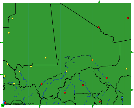
To change the map : click on the green buttons with a black cross to zoom in, on the green button with a dash to zoom out, or on the green arrows for adjacent maps.