METAR-TAF
Airports :
Diori Hamani International Airport
Niamey, Niger
latitude: 13-29N, longitude: 002-10E, elevation: 223 m
Current weather observation
The report was made 1 hour and 56 minutes ago, at 16:00 UTC
Wind 8 kt from the Southwest, varying between South and West
Temperature 34°C
Humidity 53%
Pressure
Visibility 10 km or more
Few clouds at a height of 2600 ft
METAR: DRRN 241600Z 23008KT 190V260 9999 FEW026 34/23 Q CHECK TEXT NEW ENDING ADDED HAABYFYX
Time: 18:56 (17:56 UTC)
TAF: missing
Weather observations and forecasts of more than 4000 airports (METAR and TAF reports).
The available stations are represented by yellow and red dots on the map.
Hover mouse over dot to see the name of the station.
Then click to see weather observations and forecasts.
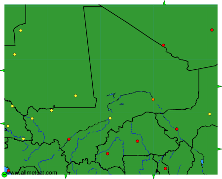
To change the map : click on the green buttons with a black cross to zoom in, on the green button with a dash to zoom out, or on the green arrows for adjacent maps.