METAR-TAF
Airports :
Niamtougou International Airport
Niamtougou, Togo
latitude: 09-46N, longitude: 001-06E, elevation: 342 m
Current weather observation
The report was made 1 hour and 4 minutes ago, at 16:00 UTC
Wind 5 kt from the West, varying between Southwest and Northwest
Temperature 29°C
Humidity 58%
Pressure 1015 hPa
Visibility 10 km or more
Scattered clouds at a height of 700 ft
Few clouds at a height of 1400 ft, Towering cumulus.
Few clouds at a height of 1400 ft, Towering cumulus.
METAR: DXNG 311600Z 28005KT 230V310 9999 SCT007 FEW014TCU 29/20 Q1015
Time: 17:04 (17:04 UTC)
Forecast
The report was made 5 hours and 46 minutes ago, at 11:18 UTC
Forecast valid from 31 at 12 UTC to 01 at 12 UTC
Wind 6 kt from the South/Southwest
Visibility 10 km or more
Scattered clouds at a height of 600 ft
Probability 40%
from 01 at 06 UTC to 01 at 12 UTC
from 01 at 06 UTC to 01 at 12 UTC
Broken clouds at a height of 600 ft
TAF: DXNG 311118Z 3112/0112 20006KT 9999 SCT006 PROB40 0106/0112 BKN006
Weather observations and forecasts of more than 4000 airports (METAR and TAF reports).
The available stations are represented by yellow and red dots on the map.
Hover mouse over dot to see the name of the station.
Then click to see weather observations and forecasts.
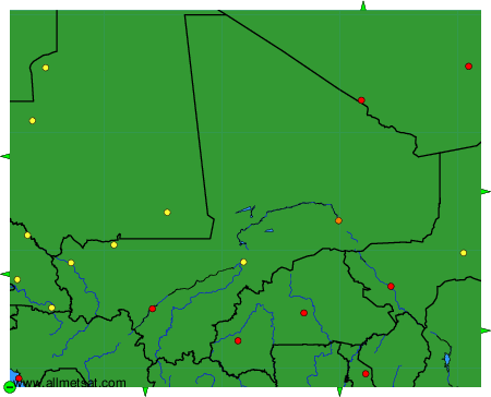
To change the map : click on the green buttons with a black cross to zoom in, on the green button with a dash to zoom out, or on the green arrows for adjacent maps.