METAR-TAF
Airports :
Bamako–Modibo Keïta International Airport
Bamako, Mali
latitude: 12-32N, longitude: 007-57W, elevation: 380 m
Current weather observation
Few clouds at a height of 2000 ft, Cumulonimbus.
METAR: GABS 311600Z 25004KT 190V350 9999 SCT016 FEW020CB 33/22 Q1013 NOSIG
Time: 16:30 (16:30 UTC)
Forecast
from 31 at 14 UTC to 31 at 18 UTC
Few clouds at a height of 2500 ft, Cumulonimbus.
from 31 at 18 UTC to 31 at 23 UTC
Few clouds at a height of 2500 ft, Cumulonimbus.
from 01 at 02 UTC to 01 at 06 UTC
Few clouds at a height of 2500 ft, Cumulonimbus.
TAF: GABS 311128Z 3112/0118 23008KT 9999 SCT016 PROB40 TEMPO 3114/3118 VRB18G28KT 4000 TSRA BKN016 FEW025CB PROB30 TEMPO 3118/3123 4500 SHRA BKN016 FEW025CB PROB30 TEMPO 0102/0106 14018G30 3000 TSRA BKN016 FEW025CB
Weather observations and forecasts of more than 4000 airports (METAR and TAF reports).
The available stations are represented by yellow and red dots on the map.
Hover mouse over dot to see the name of the station.
Then click to see weather observations and forecasts.
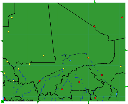
To change the map : click on the green buttons with a black cross to zoom in, on the green button with a dash to zoom out, or on the green arrows for adjacent maps.