METAR-TAF
Airports :
Grand Forks
Baudette
Berens River
Big Trout Lake
Brandon
Broadview
Carman
Churchill
Crane Lake
Dauphin
Deerwood RCS
Devils Lake
Dryden
Estevan
Flag Island
Flin Flon
George Island
Gillam
Gillam
Gimli Harbour
Grand Rapids
Hallock
International Falls
Island Lake
Kenora
Lynn Lake
Minot
Minot
Morden
Muskrat Dam
Nipawin
Norway House
Orr
Pickle Lake
Pilot Mound
Portage la Prairie
Red Lake
Roseau
Rugby
Sandy Lake
Sioux Lookout
Southend
Swan River
Tadoule Lake
The Pas
Thief River Falls
Thompson
Thunder Bay
Upsala
Victoria Beach
Warroad
Waskish
Weyburn
Williston
Winnipeg
Winnipeg
Yorkton
Manitoba
Dakota
Minnesota
Montana, East
North America
Nunavut
Nunavut, Baffin Island, Ellesmere
Ontario, North
Saskatchewan
Grand Forks International Airport Grand Forks, North Dakota, United States
latitude: 47-56-53N, longitude: 097-10-57W, elevation: 257 m
Current weather observation The report was made 43 minutes ago, at 20:53 UTC
Wind 18 kt from the South/Southeast with gusts up to 26 kt
Temperature -11 °C
Humidity 72 %
Pressure 1023 hPa
Visibility: 9.7 km
Broken clouds at a height of 11000 ft Broken clouds at a height of 21000 ft
Blowing snow
METAR: KGFK 232053Z 16018G26KT 6SM BLSN BKN110 BKN210 M11/M15 A3020 RMK AO2 PK WND 16029/2017 PRESFR SLP252 T11111150 56078
Time: 15:36 (21:36 UTC) Forecast The report was made 4 hours and 14 minutes ago, at 17:22 UTC
Forecast valid from 23 at 18 UTC to 24 at 18 UTC
Wind 15 kt from the South/Southeast with gusts up to 20 kt
Visibility: 10 km
Scattered clouds at a height of 12000 ft
From 24 at 0400 UTC
Wind 16 kt from the South with gusts up to 26 kt
Visibility: 10 km
Broken clouds at a height of 6000 ft
From 24 at 1100 UTC
Wind 25 kt from the West with gusts up to 35 kt
Visibility: 3.2 km
Broken clouds at a height of 2500 ft
Blowing snow, light snow
From 24 at 1400 UTC
Wind 28 kt from the Northwest with gusts up to 40 kt
Visibility: 4.8 km
Broken clouds at a height of 2500 ft
Blowing snow, light snow
TAF: KGFK 231722Z 2318/2418 16015G20KT P6SM SCT120 FM240400 19016G26KT P6SM BKN060 FM241100 28025G35KT 2SM BLSN -SN BKN025 WS020/30045KT FM241400 32028G40KT 3SM BLSN -SN BKN025
Weather observations and forecasts of more than 4000 airports (METAR and TAF reports).
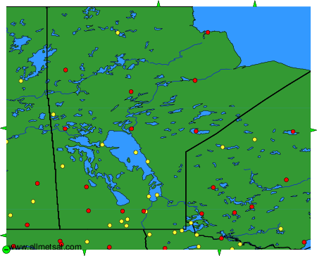
The available stations are represented by yellow and red dots on the map.
Hover mouse over dot to see the name of the station.
Then click to see weather observations and forecasts.
To change the map : click on the green buttons with a black cross to zoom in, on the green button with a dash to zoom out, or on the green arrows for adjacent maps.
