METAR-TAF
Airports :
Saipan International Airport
Saipan, Mariana Islands, United States
latitude: 15-07N, longitude: 145-44E, elevation: 66 m
Current weather observation
The report was made 9 minutes ago, at 06:54 UTC
Wind 7 kt from the North
Temperature 28°C
Humidity 84%
Pressure 1009 hPa
Visibility: 16.1 km
Scattered clouds at a height of 1700 ft
Scattered clouds at a height of 2400 ft
Scattered clouds at a height of 2400 ft
METAR: PGSN 220654Z 35007KT 10SM SCT017 SCT024 28/25 A2980 RMK AO2 RAE06 SLP111 P0014 T02830250 $
Time: 17:03 (07:03 UTC)
Forecast
The report was made 1 hour and 38 minutes ago, at 05:25 UTC
Forecast valid from 22 at 06 UTC to 23 at 06 UTC
Wind 6 kt from variable directions
Visibility: 10 km
Scattered clouds at a height of 1900 ft
Scattered clouds at a height of 4500 ft
Broken clouds at a height of 6000 ft
Scattered clouds at a height of 4500 ft
Broken clouds at a height of 6000 ft
showers in vicinity
Probability 30%
from 22 at 06 UTC to 22 at 12 UTC
from 22 at 06 UTC to 22 at 12 UTC
Wind 8 kt from variable directions with gusts up to 16 kt
Visibility: 3.2 km
Broken clouds at a height of 1400 ft, Cumulonimbus.
Broken clouds at a height of 3000 ft
Broken clouds at a height of 3000 ft
thunderstorm, rain
TAF: PGSN 220525Z 2206/2306 VRB06KT P6SM VCSH SCT019 SCT045 BKN060 PROB30 2206/2212 VRB08G16KT 2SM TSRA BKN014CB BKN030
Weather observations and forecasts of more than 4000 airports (METAR and TAF reports).
The available stations are represented by yellow and red dots on the map.
Hover mouse over dot to see the name of the station.
Then click to see weather observations and forecasts.
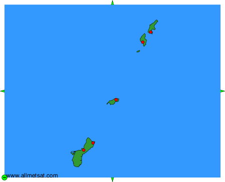
To change the map : click on the green buttons with a black cross to zoom in, on the green button with a dash to zoom out, or on the green arrows for adjacent maps.