METAR-TAF
Airports :
Antonio B. Won Pat International Airport
Hagåtña, Guam, United States
latitude: 13-29N, longitude: 144-48E, elevation: 91 m
Current weather observation
METAR: PGUM 310254Z 28009KT 10SM CLR 30/26 A2980 RMK AO2 RAB09E27 SLP081 P0001 60001 T03000256 58009
Time: 13:45 (03:45 UTC)
Forecast
from 31 at 03 UTC to 31 at 07 UTC
Broken clouds at a height of 3000 ft
from 31 at 09 UTC to 31 at 15 UTC
Broken clouds at a height of 2500 ft
TAF: PGUM 302349Z 3100/0106 24012KT P6SM VCSH SCT020 TEMPO 3103/3107 24012G20KT 4SM SHRA SCT015 BKN030 FM310900 27008KT P6SM VCSH SCT020 PROB30 3109/3115 27010G18KT 2SM +SHRA BKN014 BKN025
Weather observations and forecasts of more than 4000 airports (METAR and TAF reports).
The available stations are represented by yellow and red dots on the map.
Hover mouse over dot to see the name of the station.
Then click to see weather observations and forecasts.
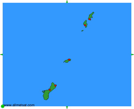
To change the map : click on the green buttons with a black cross to zoom in, on the green button with a dash to zoom out, or on the green arrows for adjacent maps.