METAR-TAF
Airports :
Tinian International Airport
Tinian, Mariana Islands, United States
latitude: 14-59N, longitude: 145-37E, elevation: 82 m
METAR: missing
Time: 22:44 (12:44 UTC)
Forecast
The report was made 1 hour and 24 minutes ago, at 11:20 UTC
Forecast valid from 16 at 12 UTC to 17 at 12 UTC
Wind 45 kt from the South/Southwest with gusts up to 60 kt
Visibility: 3.2 km
Broken clouds at a height of 1000 ft
Overcast at a height of 2500 ft
Overcast at a height of 2500 ft
heavy rain
From 16 at 1800 UTC
Wind 35 kt from the South/Southwest with gusts up to 45 kt
Visibility: 8.0 km
Broken clouds at a height of 1500 ft
Overcast at a height of 3000 ft
Overcast at a height of 3000 ft
rain showers
TAF: PGWT 161120Z 1612/1712 20045G60KT 2SM +RA BKN010 OVC025 FM161800 20035G45KT 5SM SHRA BKN015 OVC030 AMD NOT SKED
Weather observations and forecasts of more than 4000 airports (METAR and TAF reports).
The available stations are represented by yellow and red dots on the map.
Hover mouse over dot to see the name of the station.
Then click to see weather observations and forecasts.
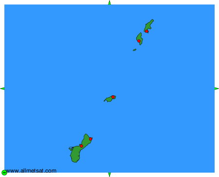
To change the map : click on the green buttons with a black cross to zoom in, on the green button with a dash to zoom out, or on the green arrows for adjacent maps.