METAR-TAF
Airports :
Fredericton International Airport
Fredericton, New Brunswick, Canada
latitude: 45-52N, longitude: 066-32W, elevation: 17 m
Current weather observation
The report was made 16 minutes ago, at 07:00 UTC
Wind 3 kt from the Southwest
Temperature 14°C
Humidity 94%
Pressure 1017 hPa
Visibility: 14.5 km
Clear sky
METAR: CYFC 300700Z AUTO 23003KT 9SM CLR 14/13 A3002 RMK SLP167
Time: 04:16 (07:16 UTC)
Forecast
The report was made 1 hour and 36 minutes ago, at 05:40 UTC
Forecast valid from 30 at 06 UTC to 30 at 18 UTC
Wind 3 kt from variable directions
Visibility: 9.7 km
Clear sky
mist
From 30 at 1000 UTC
Wind 3 kt from variable directions
Visibility: 10 km
Few clouds at a height of 20000 ft
From 30 at 1500 UTC
Wind 3 kt from variable directions
Visibility: 10 km
Few clouds at a height of 7000 ft
TAF: CYFC 300540Z 3006/3018 VRB03KT 6SM BR SKC FM301000 VRB03KT P6SM FEW200 FM301500 VRB03KT P6SM FEW070 RMK FCST BASED ON AUTO OBS. NXT FCST BY 301200Z
Weather observations and forecasts of more than 4000 airports (METAR and TAF reports).
The available stations are represented by yellow and red dots on the map.
Hover mouse over dot to see the name of the station.
Then click to see weather observations and forecasts.
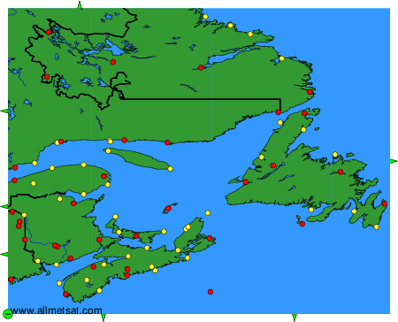
To change the map : click on the green buttons with a black cross to zoom in, on the green button with a dash to zoom out, or on the green arrows for adjacent maps.