METAR-TAF
Airports :
Atar International Airport
Atar, Mauritania
latitude: 20-30-24N, longitude: 013-02-35W, elevation: 231 m
Current weather observation
The report was made 8 hours and 47 minutes ago, at 18:00 UTC
Wind 16 kt from the South
Temperature 37°C
Humidity 24%
Pressure 1014 hPa
Visibility: 2000 m
METAR: GQPA 261800Z 18016KT 2000 NSC 37/13 Q1014
Time: 02:47 (02:47 UTC)
TAF: missing
Weather observations and forecasts of more than 4000 airports (METAR and TAF reports).
The available stations are represented by yellow and red dots on the map.
Hover mouse over dot to see the name of the station.
Then click to see weather observations and forecasts.
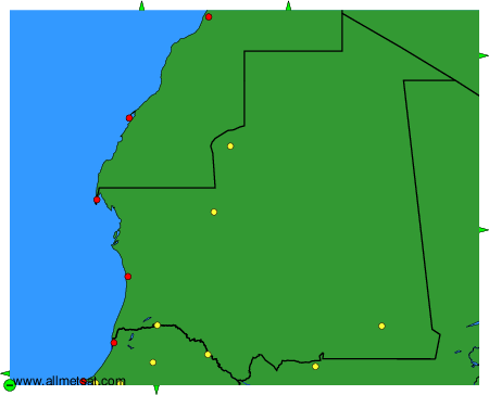
To change the map : click on the green buttons with a black cross to zoom in, on the green button with a dash to zoom out, or on the green arrows for adjacent maps.