METAR: CYZE 262000Z AUTO 26005KT 220V280 9SM CLR 25/19 A2983 RMK SLP104 DENSITY ALT 2100FT
Time: 16:38 (20:38 UTC)
Forecast
The report was made 58 minutes ago, at 19:40 UTC
Forecast valid from 26 at 20 UTC to 26 at 22 UTC
Wind 8 mph from the Southwest
Visibility: 6 miles
Scattered clouds at a height of 2000 ft
Temporary from 26 at 20 UTC to 26 at 22 UTC
Broken clouds at a height of 2000 ft
TAF: CYZE 261940Z 2620/2622 22007KT P6SM SCT020 TEMPO 2620/2622 BKN020 RMK FCST BASED ON AUTO OBS. NXT FCST BY 271000Z
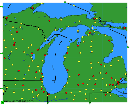
Weather observations and forecasts of more than 4000 airports (METAR and TAF reports).
The available stations are represented by yellow and red dots on the map.
Hover mouse over dot to see the name of the station.
Then click to see weather observations and forecasts.
To change the map : click on the green buttons with a black cross to zoom in, on the green button with a dash to zoom out, or on the green arrows for adjacent maps.