METAR: CYZR 202111Z AUTO 34008KT 9SM FEW034 SCT081 OVC095 17/14 A2985 RMK SLP112 DENSITY ALT 1100FT
Time: 17:23 (21:23 UTC)
Forecast
The report was made 1 hour and 43 minutes ago, at 19:40 UTC
Forecast valid from 20 at 20 UTC to 21 at 02 UTC
Wind 12 mph from the North
Visibility: 6 miles
Broken clouds at a height of 10000 ft
Temporary from 20 at 20 UTC to 21 at 02 UTC
Visibility: 6 miles
Overcast at a height of 6000 ft
light rain showers
Probability 30% from 20 at 20 UTC to 20 at 22 UTC
Wind 17 mph from variable directions with gusts up to 29 mph
Visibility: 2 miles
Overcast at a height of 3000 ft, Cumulonimbus.
thunderstorm, rain, mist
TAF: CYZR 201940Z 2020/2102 35010KT P6SM BKN100 TEMPO 2020/2102 P6SM -SHRA OVC060 PROB30 2020/2022 VRB15G25KT 2SM TSRA BR OVC030CB RMK FCST BASED ON AUTO OBS. NXT FCST BY 210800Z
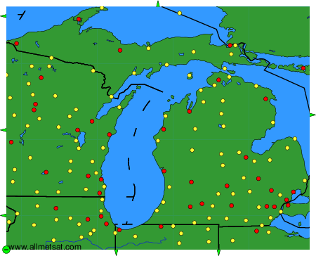
Weather observations and forecasts of more than 4000 airports (METAR and TAF reports).
The available stations are represented by yellow and red dots on the map.
Hover mouse over dot to see the name of the station.
Then click to see weather observations and forecasts.
To change the map : click on the green buttons with a black cross to zoom in, on the green button with a dash to zoom out, or on the green arrows for adjacent maps.