METAR-TAF
Airports :
Gerald R. Ford International Airport
Grand Rapids, Michigan, United States
latitude: 42-52-51N, longitude: 085-31-22W, elevation: 242 m
Current weather observation
The report was made 1 hour and 5 minutes ago, at 19:53 UTC
Wind 8 kt from the West/Northwest
Temperature 27°C
Humidity 45%
Pressure 1015 hPa
Visibility: 16.1 km
Broken clouds at a height of 4700 ft
Broken clouds at a height of 7000 ft
Broken clouds at a height of 23000 ft
Broken clouds at a height of 7000 ft
Broken clouds at a height of 23000 ft
METAR: KGRR 251953Z 29008KT 10SM BKN047 BKN070 BKN230 27/14 A2997 RMK AO2 SLP146 T02720139 $
Time: 16:58 (20:58 UTC)
Forecast
The report was made 3 hours and 18 minutes ago, at 17:40 UTC
Forecast valid from 25 at 18 UTC to 26 at 18 UTC
Wind 9 kt from the Southwest
Visibility: 10 km
Broken clouds at a height of 4500 ft
Broken clouds at a height of 25000 ft
Broken clouds at a height of 25000 ft
From 26 at 0100 UTC
Wind 4 kt from the West/Southwest
Visibility: 10 km
Clear sky
From 26 at 1500 UTC
Wind 7 kt from the West
Visibility: 10 km
Few clouds at a height of 6000 ft
TAF: KGRR 251740Z 2518/2618 22009KT P6SM BKN045 BKN250 FM260100 25004KT P6SM SKC FM261500 26007KT P6SM FEW060
Weather observations and forecasts of more than 4000 airports (METAR and TAF reports).
The available stations are represented by yellow and red dots on the map.
Hover mouse over dot to see the name of the station.
Then click to see weather observations and forecasts.
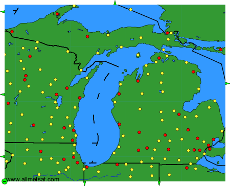
To change the map : click on the green buttons with a black cross to zoom in, on the green button with a dash to zoom out, or on the green arrows for adjacent maps.