METAR-TAF
Airports :
Sheboygan
Adrian
Alma
Alpena
Angola
Ann Arbor
Antigo
Appleton
Auburn
Aurora
Bad Axe
Baraboo / Wisconsin Dells
Battle Creek
Beaver Island
Bellaire
Benton Harbor
Big Rapids
Burlington
Cadillac
Camp Douglas
Caribou Island
Caro
Charlevoix
Charlotte
Cheboygan
Chicago
Chicago-Midway
Clinton
Clintonville
Coldwater
Copper Harbor
Defiance
DeKalb
Detroit
Detroit
Detroit
Detroit / Grosse Ile
Eagle River
Elkhart
Escanaba
Flint
Fond du Lac
Frankfort
Freeport
Gary
Gaylord
Gore Bay
Goshen
Grand Rapids
Grayling
Green Bay
Hancock
Harbor Springs
Hillsdale
Holland
Houghton Lake
Howell
Iron Mountain / Kingsford
Ironwood
Jackson
Janesville
Joliet
Juneau
Kalamazoo / Battle Creek
Kenosha
Lambertville
Land O' Lakes
Lansing
Lansing
Lone Rock
Ludington
Mackinac Island
Madison
Manistee
Manistique
Manitowoc
Marquette
Marshall
Marshfield
Mason
Medford
Menominee
Merrill
Midland
Milwaukee
Milwaukee
Mineral Point
Minocqua / Woodruff
Monroe
Monroe
Morris
Mosinee
Mount Clemens
Mount Pleasant
Munising
Muskegon
Newberry
Oscoda
Oshkosh
Owosso
Pellston
Peru / LaSalle
Phillips
Pontiac
Port Hope
Port Huron
Racine
Rhinelander
Rochelle
Rockford
Rogers City
Romeoville
Saginaw
Saginaw
Sault Ste. Marie
Sault Ste. Marie
Sault Ste. Marie
Savanna
Shawano
Sheboygan
South Bend
South Haven
Sterling / Rock Falls
Stevens Point
Sturgeon Bay
Sturgis
Toledo
Toledo
Tomahawk
Traverse City
Troy
Valparaiso
Warsaw
Watertown
Waukegan
Waukesha
Waupaca
Wausau
West Bend
West Chicago
Wheeling / Prospect Heights
Windsor
Wisconsin Rapids
Michigan
Illinois
Indiana
Iowa
Minnesota
North America
Ohio
Ontario, North
Ontario, South
Wisconsin
Sheboygan County Memorial Airport Sheboygan, Wisconsin, United States
latitude: 43-46-35N, longitude: 087-50-59W, elevation: 748 ft
Current weather observation The report was made 58 minutes ago, at 19:53 UTC
Wind 13 mph from the Northeast
Temperature 72 °F
Humidity 78 %
Pressure 29.88 in. Hg
Visibility: 10 miles
Few clouds at a height of 5500 ft Scattered clouds at a height of 9500 ft Overcast at a height of 11000 ft
METAR: KSBM 011953Z AUTO 04011KT 10SM FEW055 SCT095 OVC110 22/18 A2988 RMK AO2 SLP115 T02170183 $
Time: 15:51 (20:51 UTC) Forecast The report was made 49 minutes ago, at 20:02 UTC
Forecast valid from 01 at 20 UTC to 02 at 18 UTC
Wind 14 mph from the Northeast
Visibility: 6 miles
Overcast at a height of 10000 ft
Temporary
Visibility: 6 miles
Scattered clouds at a height of 2000 ft Overcast at a height of 10000 ft
light rain showers
From 01 at 2300 UTC
Wind 13 mph from the Northeast
Visibility: 6 miles
Broken clouds at a height of 9000 ft
From 02 at 0600 UTC
Wind 9 mph from the North/Northeast
Visibility: 6 miles
Broken clouds at a height of 1000 ft
From 02 at 1700 UTC
Wind 16 mph from the North/Northeast
Visibility: 6 miles
Scattered clouds at a height of 2000 ft
TAF: KSBM 012002Z 0120/0218 04012KT P6SM OVC100 TEMPO 0120/0121 6SM -SHRA SCT020 OVC100 FM012300 04011KT P6SM BKN090 FM020600 02008KT P6SM BKN010 FM021700 03014KT P6SM SCT020
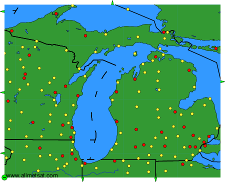
Weather observations and forecasts of more than 4000 airports (METAR and TAF reports).
The available stations are represented by yellow and red dots on the map.
Hover mouse over dot to see the name of the station.
Then click to see weather observations and forecasts.
To change the map : click on the green buttons with a black cross to zoom in, on the green button with a dash to zoom out, or on the green arrows for adjacent maps.