METAR-TAF
Airports :
Wausau Downtown Airport
Wausau, Wisconsin, United States
latitude: 44-55-43N, longitude: 089-37-36W, elevation: 1200 ft
Current weather observation
The report was made 17 minutes ago, at 02:54 UTC
Wind 6 mph from the North
Temperature 75°F
Humidity 74%
Pressure 29.78 in. Hg
Visibility: 10 miles
Clear sky
METAR: KAUW 280254Z AUTO 35005KT 10SM CLR 24/19 A2978 RMK AO2 SLP078 T02390189 53025
Time: 22:11 (03:11 UTC)
Forecast
The report was made 3 hours and 36 minutes ago, at 23:35 UTC
Forecast valid from 28 at 00 UTC to 28 at 24 UTC
Wind 9 mph from the North with gusts up to 18 mph
Visibility: 6 miles
Scattered clouds at a height of 3500 ft
Scattered clouds at a height of 25000 ft
Scattered clouds at a height of 25000 ft
From 28 at 0300 UTC
Wind 6 mph from the North/Northeast
Visibility: 6 miles
Few clouds at a height of 4000 ft
Scattered clouds at a height of 25000 ft
Scattered clouds at a height of 25000 ft
TAF: KAUW 272335Z 2800/2824 01008G16KT P6SM SCT035 SCT250 FM280300 02005KT P6SM FEW040 SCT250
Weather observations and forecasts of more than 4000 airports (METAR and TAF reports).
The available stations are represented by yellow and red dots on the map.
Hover mouse over dot to see the name of the station.
Then click to see weather observations and forecasts.
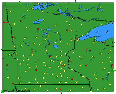
To change the map : click on the green buttons with a black cross to zoom in, on the green button with a dash to zoom out, or on the green arrows for adjacent maps.