METAR-TAF
Airports :
Central Wisconsin Airport
Mosinee, Wisconsin, United States
latitude: 44-47N, longitude: 089-40W, elevation: 1276 ft
Current weather observation
The report was made 1 hour and 0 minutes ago, at 17:50 UTC
Wind 8 mph from the North/Northwest
Temperature 79°F
Humidity 58%
Pressure 29.93 in. Hg
Visibility: 10 miles
Few clouds at a height of 3300 ft
METAR: KCWA 011750Z 33007KT 10SM FEW033 26/17 A2993
Time: 13:50 (18:50 UTC)
Forecast
The report was made 1 hour and 21 minutes ago, at 17:29 UTC
Forecast valid from 01 at 18 UTC to 02 at 18 UTC
Wind 6 mph from the North/Northeast
Visibility: 6 miles
Scattered clouds at a height of 3000 ft
Broken clouds at a height of 15000 ft
Broken clouds at a height of 15000 ft
From 02 at 0200 UTC
Wind 7 mph from the North/Northeast
Visibility: 6 miles
Scattered clouds at a height of 7000 ft
From 02 at 0800 UTC
Wind 6 mph from the North/Northeast
Visibility: 6 miles
Broken clouds at a height of 1700 ft
From 02 at 1400 UTC
Wind 7 mph from the Northeast
Visibility: 6 miles
Scattered clouds at a height of 3500 ft
TAF: KCWA 011729Z 0118/0218 03005KT P6SM SCT030 BKN150 FM020200 03006KT P6SM SCT070 FM020800 02005KT P6SM BKN017 FM021400 05006KT P6SM SCT035
Weather observations and forecasts of more than 4000 airports (METAR and TAF reports).
The available stations are represented by yellow and red dots on the map.
Hover mouse over dot to see the name of the station.
Then click to see weather observations and forecasts.
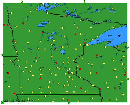
To change the map : click on the green buttons with a black cross to zoom in, on the green button with a dash to zoom out, or on the green arrows for adjacent maps.