METAR-TAF
Airports :
Sioux Falls Regional Airport
Sioux Falls, South Dakota, United States
latitude: 43-34-37N, longitude: 096-45-13W, elevation: 1427 ft
Current weather observation
The report was made 27 minutes ago, at 04:56 UTC
Wind 16 mph from the South
Temperature 73°F
Humidity 69%
Pressure 29.87 in. Hg
Visibility: 10 miles
Few clouds at a height of 25000 ft
METAR: KFSD 030456Z 18014KT 10SM FEW250 23/17 A2987 RMK AO2 SLP106 T02330172 $
Time: 00:23 (05:23 UTC)
Forecast
The report was made 6 hours and 3 minutes ago, at 23:20 UTC
Forecast valid from 03 at 00 UTC to 03 at 24 UTC
Wind 12 mph from the South/Southeast with gusts up to 21 mph
Visibility: 6 miles
Scattered clouds at a height of 25000 ft
From 03 at 1400 UTC
Wind 17 mph from the South with gusts up to 29 mph
Visibility: 6 miles
Few clouds at a height of 25000 ft
From 03 at 2000 UTC
Wind 23 mph from the South with gusts up to 35 mph
Visibility: 6 miles
Few clouds at a height of 25000 ft
TAF: KFSD 022320Z 0300/0324 15010G18KT P6SM SCT250 FM031400 18015G25KT P6SM FEW250 FM032000 17020G30KT P6SM FEW250
Weather observations and forecasts of more than 4000 airports (METAR and TAF reports).
The available stations are represented by yellow and red dots on the map.
Hover mouse over dot to see the name of the station.
Then click to see weather observations and forecasts.
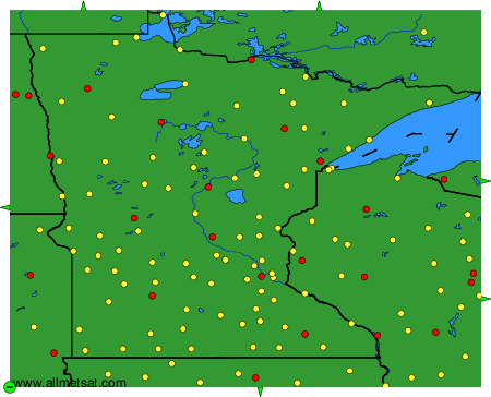
To change the map : click on the green buttons with a black cross to zoom in, on the green button with a dash to zoom out, or on the green arrows for adjacent maps.