Main page
METAR-TAF:

METAR-TAF

Airports :

Range Regional Airport

Hibbing, Minnesota, United States

latitude: 47-23-12N, longitude: 092-50-20W, elevation: 1351 ft

Current weather observation

The report was made 57 minutes ago, at 23:53 UTC
Wind 7 mph from the Southwest with gusts up to 20 mph
Temperature 46°F
Humidity 66%
Pressure 29.68 in. Hg
Visibility: 10 miles
Overcast at a height of 4300 ft

METAR: KHIB 022353Z AUTO 23006G17KT 10SM OVC043 08/02 A2968 RMK AO2 SLP062 60000 T00830017 10089 20072 51016

Time: 18:50 (00:50 UTC)

Forecast

The report was made 1 hour and 13 minutes ago, at 23:37 UTC
Forecast valid from 03 at 00 UTC to 03 at 24 UTC
Wind 13 mph from the Southwest with gusts up to 24 mph
Visibility: 6 miles
Broken clouds at a height of 5000 ft
Overcast at a height of 10000 ft
From 03 at 0700 UTC
Wind 14 mph from the West with gusts up to 25 mph
Visibility: 6 miles
Scattered clouds at a height of 10000 ft
From 03 at 1600 UTC
Wind 17 mph from the West with gusts up to 30 mph
Visibility: 6 miles
Clear sky
From 03 at 2100 UTC
Wind 14 mph from the West with gusts up to 25 mph
Visibility: 6 miles

TAF: KHIB 022337Z 0300/0324 22011G21KT P6SM BKN050 OVC100 FM030700 28012G22KT P6SM SCT100 FM031600 28015G26KT P6SM SKC FM032100 27012G22KT P6SM SKC

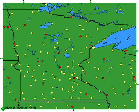
Weather observations and forecasts of more than 4000 airports (METAR and TAF reports).

The available stations are represented by yellow and red dots on the map.

Hover mouse over dot to see the name of the station.

Then click to see weather observations and forecasts.

To change the map : click on the green buttons with a black cross to zoom in, on the green button with a dash to zoom out, or on the green arrows for adjacent maps.


METAR-TAF: