METAR-TAF
Airports :
Slidell
Alabaster
Alexander City
Alexandria
Amelia
Andalusia
Anniston
Apalachicola
Athens
Atlanta
Atlanta
Atlanta
Atlanta
Atlanta / Kennesaw
Auburn
Bainbridge
Baton Rouge
Bay St. Louis
Bessemer
Biloxi
Birmingham
Boothville-Venice
Calhoun
Canton
Carrollton
Cartersville
Chattanooga
Cleveland
Columbus
Columbus
Columbus / West Point / Starkville
Corinth
Crestview
Dalton
Decatur
Demopolis
Destin
Dothan
Duke Field
Eufaula
Evergreen
Fairhope
Fayetteville
Fort Benning / Columbus
Fort Payne
Fort Rucker
Fort Rucker
Gadsden
Greenville
Greenville
Greenwood
Gulfport
Gulf Shores
Hammond
Hattiesburg
Hattiesburg / Laurel
Houma
Huntsville
Huntsville
Jackson-Evers
Jackson-Hawkins
Jacksonville
Jasper
Jasper
Lafayette
Lagrange
Laurel
Little Rock
Madison
Marianna
Marietta
Mary Esther
McComb
Memphis
Meridian
Meridian
Millington
Milton
Milton
Mobile-downtown
Mobile-regional
Monroe
Montgomery-Maxwell-Gunter
Montgomery-regional
Monticello
Muscle Shoals
Natchez
New Iberia
Newnan
New Orleans
New Orleans-Lakefront
New Orleans-Naval
Olive Branch
Opelousas
Oxford
Ozark
Panama City
Pascagoula
Patterson
Pell City
Pensacola
Pensacola NAS
Pine Bluff
Port Fourchon
Raymond
Redstone Arsenal
Rome
Salt Point
Searcy
Selma
Slidell
Starkville
Stuttgart
Sylacauga
Talladega
Tallulah / Vicksburg
Troy
Tunica
Tupelo
Tuscaloosa
Tyndall AFB
Valparaiso
West Memphis
Winchester
Mississippi, Alabama
Arkansas
Florida
Georgia
Kentucky
Louisiana
Mexico, East
North America
Tennessee
Slidell Airport Slidell, Louisiana, United States
latitude: 30-20-35N, longitude: 089-49-19W, elevation: 30 ft
Current weather observation The report was made 13 minutes ago, at 08:53 UTC
Wind 7 mph from the West
Temperature 84 °F
Humidity 84 %
Pressure 29.79 in. Hg
Visibility: 10 miles
Few clouds at a height of 2400 ft Broken clouds at a height of 3900 ft Broken clouds at a height of 4900 ft
METAR: KASD 020853Z AUTO 27006KT 10SM FEW024 BKN039 BKN049 29/26 A2979 RMK AO1 LTG DSNT E SLP088 T02890261 56006 $
Time: 04:06 (09:06 UTC) Forecast The report was made 3 hours and 46 minutes ago, at 05:20 UTC
Forecast valid from 02 at 06 UTC to 03 at 06 UTC
Wind 6 mph from the South/Southwest
Visibility: 6 miles
Clear sky
Probability 30%
Visibility: 4 miles
Broken clouds at a height of 2600 ft, Cumulonimbus.
thunderstorm, light rain
From 02 at 1400 UTC
Wind 10 mph from the Southwest
Visibility: 6 miles
Scattered clouds at a height of 3000 ft Broken clouds at a height of 10000 ft
showers in vicinity
From 02 at 1800 UTC
Wind 12 mph from the West
Visibility: 6 miles
Scattered clouds at a height of 3000 ft Broken clouds at a height of 10000 ft
TAF: KASD 020520Z 0206/0306 21005KT P6SM SKC PROB30 0208/0214 4SM -TSRA BKN026CB FM021400 23009KT P6SM VCSH SCT030 BKN100 FM021800 26010KT P6SM SCT030 BKN100
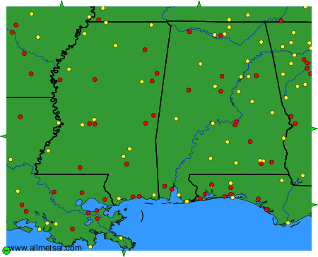
Weather observations and forecasts of more than 4000 airports (METAR and TAF reports).
The available stations are represented by yellow and red dots on the map.
Hover mouse over dot to see the name of the station.
Then click to see weather observations and forecasts.
To change the map : click on the green buttons with a black cross to zoom in, on the green button with a dash to zoom out, or on the green arrows for adjacent maps.