METAR-TAF
Airports :
Dothan Regional Airport
Dothan, Alabama, United States
latitude: 31-19-17N, longitude: 085-26-59W, elevation: 400 ft
Current weather observation
The report was made 41 minutes ago, at 20:53 UTC
Wind 10 mph from the West/Southwest
Temperature 84°F
Humidity 70%
Pressure 30.15 in. Hg
Visibility: 10 miles
Clear sky
METAR: KDHN 262053Z 24009KT 10SM CLR 29/23 A3015 RMK AO1 LTG DSNT N AND NE SLP203 T02890233 56011 $
Time: 16:34 (21:34 UTC)
Forecast
The report was made 4 hours and 2 minutes ago, at 17:32 UTC
Forecast valid from 26 at 18 UTC to 27 at 18 UTC
Wind 6 mph from the West/Southwest
Visibility: 6 miles
Scattered clouds at a height of 6000 ft
showers in vicinity
Temporary
from 26 at 20 UTC to 26 at 23 UTC
from 26 at 20 UTC to 26 at 23 UTC
Visibility: 5 miles
Broken clouds at a height of 5000 ft, Cumulonimbus.
thunderstorm, light rain
From 26 at 2300 UTC
Wind 6 mph from the South/Southwest
Visibility: 6 miles
Scattered clouds at a height of 6000 ft
TAF: KDHN 261732Z 2618/2718 25005KT P6SM VCSH SCT060 TEMPO 2620/2623 5SM -TSRA BKN050CB FM262300 21005KT P6SM SCT060
Weather observations and forecasts of more than 4000 airports (METAR and TAF reports).
The available stations are represented by yellow and red dots on the map.
Hover mouse over dot to see the name of the station.
Then click to see weather observations and forecasts.
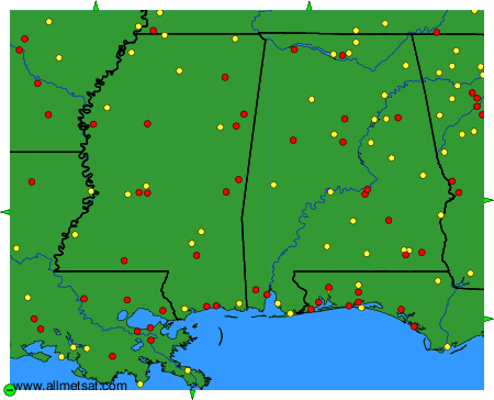
To change the map : click on the green buttons with a black cross to zoom in, on the green button with a dash to zoom out, or on the green arrows for adjacent maps.