METAR-TAF
Airports :
Clinton National Airport
Little Rock, Arkansas, United States
latitude: 34-43-36N, longitude: 092-14-10W, elevation: 79 m
Current weather observation
The report was made 16 minutes ago, at 15:53 UTC
Wind 9 kt from the Northwest
Temperature 28°C
Humidity 74%
Pressure 1017 hPa
Visibility: 16.1 km
Few clouds at a height of 2000 ft
Broken clouds at a height of 25000 ft
Broken clouds at a height of 25000 ft
METAR: KLIT 011553Z COR 32009KT 10SM FEW020 BKN250 28/23 A3003 RMK AO2 SLP167 T02780228 $
Time: 11:09 (16:09 UTC)
Forecast
The report was made 4 hours and 49 minutes ago, at 11:20 UTC
Forecast valid from 01 at 12 UTC to 02 at 12 UTC
Wind 5 kt from variable directions
Visibility: 10 km
Broken clouds at a height of 25000 ft
From 01 at 1700 UTC
Wind 7 kt from the North
Visibility: 10 km
Broken clouds at a height of 6000 ft
showers in vicinity,
TAF: KLIT 011120Z 0112/0212 VRB05KT P6SM BKN250 FM011700 35007KT P6SM VCSH BKN060
Weather observations and forecasts of more than 4000 airports (METAR and TAF reports).
The available stations are represented by yellow and red dots on the map.
Hover mouse over dot to see the name of the station.
Then click to see weather observations and forecasts.
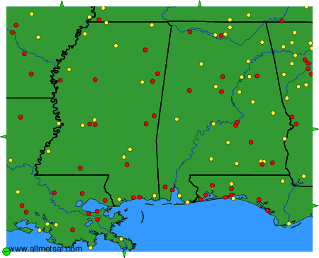
To change the map : click on the green buttons with a black cross to zoom in, on the green button with a dash to zoom out, or on the green arrows for adjacent maps.