METAR-TAF
Airports :
Memphis International Airport
Memphis, Tennessee, United States
latitude: 35-03-40N, longitude: 089-59-06W, elevation: 331 ft
Current weather observation
The report was made 44 minutes ago, at 13:54 UTC
Wind 20 mph from the North/Northeast with gusts up to 28 mph
Temperature 50°F
Humidity 53%
Pressure 30.22 in. Hg
Visibility: 10 miles
Few clouds at a height of 25000 ft
METAR: KMEM 231354Z 03017G24KT 10SM FEW250 10/01 A3022 RMK AO2 PK WND 02026/1343 SLP230 T01000006 $
Time: 09:38 (14:38 UTC)
Forecast
The report was made 3 hours and 18 minutes ago, at 11:20 UTC
Forecast valid from 23 at 12 UTC to 24 at 18 UTC
Wind 21 mph from the North/Northeast with gusts up to 30 mph
Visibility: 6 miles
Few clouds at a height of 25000 ft
From 24 at 0100 UTC
Wind 14 mph from the Northeast with gusts up to 21 mph
Visibility: 6 miles
Scattered clouds at a height of 25000 ft
From 24 at 0700 UTC
Wind 12 mph from the Northeast
Visibility: 6 miles
Overcast at a height of 10000 ft
TAF: KMEM 231120Z 2312/2418 02018G26KT P6SM FEW250 FM240100 04012G18KT P6SM SCT250 FM240700 05010KT P6SM OVC100
Weather observations and forecasts of more than 4000 airports (METAR and TAF reports).
The available stations are represented by yellow and red dots on the map.
Hover mouse over dot to see the name of the station.
Then click to see weather observations and forecasts.
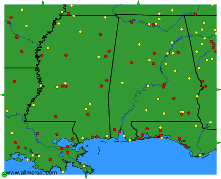
To change the map : click on the green buttons with a black cross to zoom in, on the green button with a dash to zoom out, or on the green arrows for adjacent maps.