METAR-TAF
Airports :
Des Moines International Airport
Des Moines, Iowa, United States
latitude: 41-32-16N, longitude: 093-39-58W, elevation: 291 m
Current weather observation
The report was made 53 minutes ago, at 07:54 UTC
Wind 4 kt from the North/Northeast
Temperature 14°C
Humidity 88%
Pressure 1016 hPa
Visibility: 16.1 km
Few clouds at a height of 10000 ft
METAR: KDSM 220754Z 02004KT 10SM FEW100 14/12 A2999 RMK AO2 SLP153 T01390122
Time: 03:47 (08:47 UTC)
Forecast
The report was made 3 hours and 12 minutes ago, at 05:35 UTC
Forecast valid from 22 at 06 UTC to 23 at 06 UTC
Wind 6 kt from variable directions
Visibility: 10 km
Few clouds at a height of 3000 ft
Scattered clouds at a height of 9000 ft
Broken clouds at a height of 15000 ft
Scattered clouds at a height of 9000 ft
Broken clouds at a height of 15000 ft
From 22 at 1500 UTC
Wind 4 kt from variable directions
Visibility: 10 km
Few clouds at a height of 2500 ft
Scattered clouds at a height of 10000 ft
Scattered clouds at a height of 10000 ft
TAF: KDSM 220535Z 2206/2306 VRB06KT P6SM FEW030 SCT090 BKN150 FM221500 VRB04KT P6SM FEW025 SCT100
Weather observations and forecasts of more than 4000 airports (METAR and TAF reports).
The available stations are represented by yellow and red dots on the map.
Hover mouse over dot to see the name of the station.
Then click to see weather observations and forecasts.
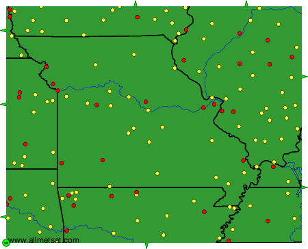
To change the map : click on the green buttons with a black cross to zoom in, on the green button with a dash to zoom out, or on the green arrows for adjacent maps.