The report was made 1 hour and 31 minutes ago, at 01:05 UTC
Forecast valid from 01 at 01 UTC to 01 at 24 UTC
Wind 24 mph from the North/Northwest with gusts up to 37 mph
Visibility: 6 miles
Scattered clouds at a height of 3000 ft Broken clouds at a height of 4500 ft
Temporary from 01 at 01 UTC to 01 at 02 UTC
Broken clouds at a height of 3000 ft
From 01 at 0800 UTC
Wind 16 mph from the North/Northwest
Visibility: 6 miles
Few clouds at a height of 25000 ft
From 01 at 1500 UTC
Wind 17 mph from the North with gusts up to 26 mph
Visibility: 6 miles
Few clouds at a height of 25000 ft
TAF: KOMA 010105Z 0101/0124 33021G32KT P6SM SCT030 BKN045 TEMPO 0101/0102 BKN030 FM010800 34014KT P6SM FEW250 FM011500 35015G23KT P6SM FEW250
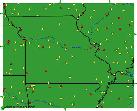
Weather observations and forecasts of more than 4000 airports (METAR and TAF reports).
The available stations are represented by yellow and red dots on the map.
Hover mouse over dot to see the name of the station.
Then click to see weather observations and forecasts.
To change the map : click on the green buttons with a black cross to zoom in, on the green button with a dash to zoom out, or on the green arrows for adjacent maps.