METAR-TAF
Airports :
Chicago Rockford International Airport
Rockford, Illinois, United States
latitude: 42-11-34N, longitude: 089-05-36W, elevation: 735 ft
Current weather observation
The report was made 1 hour and 3 minutes ago, at 00:54 UTC
Wind 8 mph from the East/Northeast
Temperature 64°F
Humidity 42%
Pressure 30.00 in. Hg
Visibility: 10 miles
Overcast at a height of 5500 ft
METAR: KRFD 230054Z 07007KT 10SM OVC055 18/05 A3000 RMK AO2 SLP160 T01830050
Time: 20:57 (01:57 UTC)
Forecast
The report was made 2 hours and 28 minutes ago, at 23:29 UTC
Forecast valid from 23 at 00 UTC to 23 at 24 UTC
Wind 10 mph from the East/Northeast
Visibility: 6 miles
Overcast at a height of 5000 ft
From 23 at 0900 UTC
Wind 6 mph from variable directions
Visibility: 6 miles
Scattered clouds at a height of 2500 ft
Broken clouds at a height of 4000 ft
Broken clouds at a height of 4000 ft
Temporary
from 23 at 12 UTC to 23 at 16 UTC
from 23 at 12 UTC to 23 at 16 UTC
Broken clouds at a height of 2000 ft
From 23 at 1800 UTC
Wind 8 mph from the West/Northwest
Visibility: 6 miles
Broken clouds at a height of 4000 ft
TAF: KRFD 222329Z 2300/2324 07009KT P6SM OVC050 FM230900 VRB05KT P6SM SCT025 BKN040 TEMPO 2312/2316 BKN020 FM231800 29007KT P6SM BKN040
Weather observations and forecasts of more than 4000 airports (METAR and TAF reports).
The available stations are represented by yellow and red dots on the map.
Hover mouse over dot to see the name of the station.
Then click to see weather observations and forecasts.
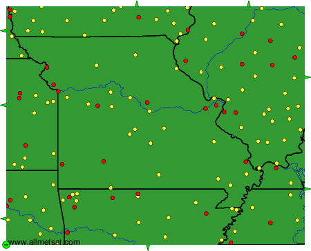
To change the map : click on the green buttons with a black cross to zoom in, on the green button with a dash to zoom out, or on the green arrows for adjacent maps.