METAR-TAF
Airports :
Kadala Airport
Chita, Russia
latitude: 52-05N, longitude: 113-29E, elevation: 685 m
Current weather observation
The report was made 29 minutes ago, at 23:30 UTC
Wind 4 kt from the South/Southwest
Temperature 7°C
Humidity 45%
Pressure 1013 hPa
Visibility 10 km or more
METAR: UIAA 242330Z 21002MPS 9999 NSC 07/M04 Q1013 R29/CLRD79 NOSIG RMK QFE701/0935
Time: 08:59 (23:59 UTC)
Forecast
The report was made 59 minutes ago, at 23:00 UTC
Forecast valid from 25 at 00 UTC to 25 at 24 UTC
Wind 10 kt from the West/Northwest with gusts up to 19 kt
Visibility 10 km or more
Temporary
from 25 at 00 UTC to 25 at 24 UTC
from 25 at 00 UTC to 25 at 24 UTC
Wind 6 kt from the Southwest with gusts up to 16 kt
TAF: UIAA 242300Z 2500/2524 29005G10MPS 9999 NSC TEMPO 2500/2524 23003G08MPS
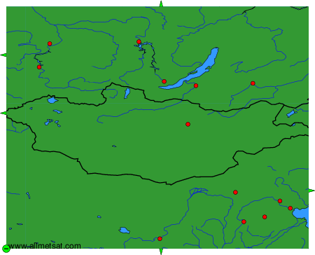
Weather observations and forecasts of more than 4000 airports (METAR and TAF reports).
The available stations are represented by yellow and red dots on the map.
Hover mouse over dot to see the name of the station.
Then click to see weather observations and forecasts.
To change the map : click on the green buttons with a black cross to zoom in, on the green button with a dash to zoom out, or on the green arrows for adjacent maps.