METAR-TAF
Airports :
Tianjin Binhai International Airport
Tianjin, China
latitude: 39-11N, longitude: 117-21E, elevation: 3 m
Current weather observation
The report was made 24 minutes ago, at 05:30 UTC
Wind 6 kt from the South, varying between East/Southeast and South/Southwest
Temperature 33°C
Humidity 53%
Pressure 1005 hPa
Visibility: 9000 m
Broken clouds at a height of 4000 ft
METAR: ZBTJ 020530Z 17003MPS 120V210 9000 BKN040 33/22 Q1005 NOSIG
Time: 13:54 (05:54 UTC)
Forecast
The report was made 2 hours and 52 minutes ago, at 03:02 UTC
Forecast valid from 02 at 06 UTC to 03 at 12 UTC
Wind 6 kt from the South
Visibility: 5000 m
mist
TAF: ZBTJ 020302Z 0206/0312 17003MPS 5000 BR NSC TX33/0206Z TX36/0306Z TN25/0221Z
Weather observations and forecasts of more than 4000 airports (METAR and TAF reports).
The available stations are represented by yellow and red dots on the map.
Hover mouse over dot to see the name of the station.
Then click to see weather observations and forecasts.
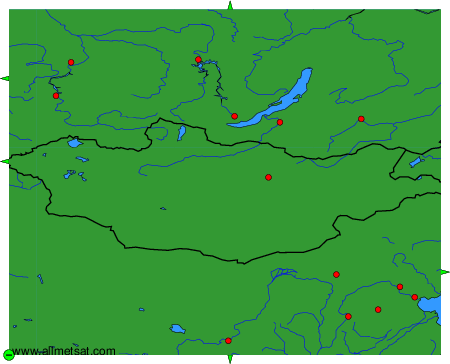
To change the map : click on the green buttons with a black cross to zoom in, on the green button with a dash to zoom out, or on the green arrows for adjacent maps.