METAR-TAF
Airports :
Chinggis Khaan International Airport
Ulan Bator, Mongolia
latitude: 47-55N, longitude: 106-52E, elevation: 1306 m
Current weather observation
The report was made 40 minutes ago, at 08:00 UTC
Wind 16 kt from the North/Northwest, varying between West/Northwest and North
Temperature 13°C
Humidity 47%
Pressure 1012 hPa
Visibility 10 km or more
Few clouds at a height of 3000 ft, Cumulonimbus.
Scattered clouds at a height of 3300 ft
Scattered clouds at a height of 3300 ft
METAR: ZMUB 220800Z 33008MPS 300V360 9999 FEW030CB SCT033 13/02 Q1012 NOSIG RMK QFE652.2 46 MOP
Time: 16:40 (08:40 UTC)
Forecast
The report was made 4 hours and 0 minutes ago, at 04:40 UTC
Forecast valid from 22 at 06 UTC to 23 at 12 UTC
Wind 14 kt from the North/Northwest
Visibility 10 km or more
Few clouds at a height of 3000 ft, Cumulonimbus.
Scattered clouds at a height of 3300 ft
Scattered clouds at a height of 3300 ft
Becoming
from 22 at 11 UTC to 22 at 13 UTC
from 22 at 11 UTC to 22 at 13 UTC
Wind 4 kt from variable directions
TAF: ZMUB 220440Z 2206/2312 34007MPS 9999 FEW030CB SCT033 TX12/2207Z TN02/2221Z BECMG 2211/2213 VRB02MPS
Weather observations and forecasts of more than 4000 airports (METAR and TAF reports).
The available stations are represented by yellow and red dots on the map.
Hover mouse over dot to see the name of the station.
Then click to see weather observations and forecasts.
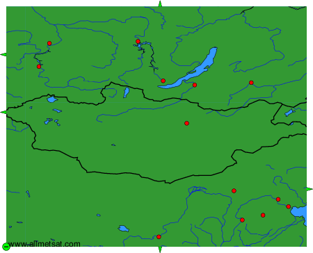
To change the map : click on the green buttons with a black cross to zoom in, on the green button with a dash to zoom out, or on the green arrows for adjacent maps.