METAR-TAF
Airports :
Dzaoudzi–Pamandzi International Airport
Dzaoudzi, Mayotte
latitude: 12-48S, longitude: 045-17E, elevation: 26 ft
Current weather observation
The report was made 23 minutes ago, at 23:00 UTC
Wind 10 mph from the Southwest
Temperature 75°F
Humidity 74%
Pressure 29.97 in. Hg
Visibility 6.2 miles or more
no clouds below 1500 m and no cumulonimbus
METAR: FMCZ 312300Z AUTO 23009KT CAVOK 24/19 Q1015 NOSIG
Time: 02:23 (23:23 UTC)
Forecast
The report was made 6 hours and 23 minutes ago, at 17:00 UTC
Forecast valid from 31 at 18 UTC to 01 at 18 UTC
Wind 15 mph from the South
Visibility 6.2 miles or more
Scattered clouds at a height of 3000 ft
TAF: FMCZ 311700Z 3118/0118 19013KT 9999 SCT030
Weather observations and forecasts of more than 4000 airports (METAR and TAF reports).
The available stations are represented by yellow and red dots on the map.
Hover mouse over dot to see the name of the station.
Then click to see weather observations and forecasts.
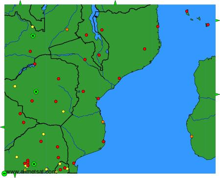
To change the map : click on the green buttons with a black cross to zoom in, on the green button with a dash to zoom out, or on the green arrows for adjacent maps.