METAR-TAF
Airports :
Lichinga Airport
Lichinga, Mozambique
latitude: 13-18S, longitude: 035-14E, elevation: 4474 ft
Current weather observation
The report was made 1 hour and 16 minutes ago, at 15:00 UTC
Wind 13 mph from the East/Southeast
Temperature 70°F
Humidity 56%
Pressure 30.24 in. Hg
Visibility 6.2 miles or more
Few clouds at a height of 1700 ft
METAR: FQLC 221500Z 12011KT 9999 FEW017 21/12 Q1024
Time: 18:16 (16:16 UTC)
Forecast
The report was made 6 hours and 16 minutes ago, at 10:00 UTC
Forecast valid from 22 at 12 UTC to 23 at 12 UTC
Wind 12 mph from the East
Visibility 6.2 miles or more
Few clouds at a height of 1500 ft
TAF: FQLC 221000Z 2212/2312 10010KT 9999 FEW015 TX29/2213Z TN11/2303Z
Weather observations and forecasts of more than 4000 airports (METAR and TAF reports).
The available stations are represented by yellow and red dots on the map.
Hover mouse over dot to see the name of the station.
Then click to see weather observations and forecasts.
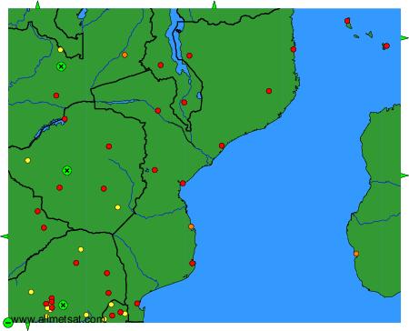
To change the map : click on the green buttons with a black cross to zoom in, on the green button with a dash to zoom out, or on the green arrows for adjacent maps.