METAR-TAF
Airports :
Quelimane
Beira
Blantyre
Bulawayo
Chimoio
Chiredzi
Dzaoudzi
Ermelo
Francistown
Germiston
Harare
Hoedspruit
Hwange National Park
Inhambane
Irene
Johannesburg
Johannesburg
Kariba
Kruger National Park
Lanseria
Lichinga
Lilongwe
Louis Trichardt
Lusaka
Mankayane
Manzini
Manzini
Maputo
Masvingo
Mfuwe
Moroni
Nampula
Ndola
Pemba
Piggs Peak
Polokwane
Pretoria
Pretoria
Quelimane
Selebi-Phikwe
Siteki
Sun City
Tete
Toliara
Vereeniging
Vilanculos
Waterkloof
Mozambique
Africa
Botswana
Burundi
Comoros
Congo
Indian Ocean islands
Madagascar
Malawi
Mauritius
Réunion
Rwanda
South Africa
South Africa, Gauteng
Tanzania
Zambia
Zimbabwe
Quelimane Airport Quelimane, Mozambique
latitude: 17-53S, longitude: 036-53E, elevation: 6 m
Current weather observation The report was made 47 minutes ago, at 11:00 UTC
Temperature 24 °C
Humidity 78 %
Pressure 1020 hPa
Visibility 10 km or more
Broken clouds at a height of 1800 ft Broken clouds at a height of 9000 ft
METAR: FQQL 101100Z /////KT 9999 BKN018 BKN090 24/20 Q1020 REDZ
Time: 13:47 (11:47 UTC) Forecast The report was made 1 hour and 47 minutes ago, at 10:00 UTC
Forecast valid from 10 at 12 UTC to 11 at 12 UTC
Wind 12 kt from the South/Southeast
Visibility 10 km or more
Broken clouds at a height of 2000 ft
Probability 30% :
Temporary
Visibility: 5000 m
Scattered clouds at a height of 1500 ft Broken clouds at a height of 1800 ft
light rain, drizzle
Becoming
Wind 3 kt from variable directions
Probability 30% :
Temporary
Visibility: 0800 m
Few clouds at a height of 600 ft
fog
Becoming
Wind 6 kt from the South
TAF: FQQL 101000Z 1012/1112 16012KT 9999 BKN020 TX27/1013Z TN15/1103Z PROB30 TEMPO 1012/1018 5000 -RADZ SCT015 BKN018 BECMG 1021/1023 VRB03KT PROB30 TEMPO 1100/1106 0800 FG FEW006 BECMG 1108/1110 17006KT
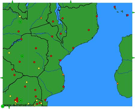
Weather observations and forecasts of more than 4000 airports (METAR and TAF reports).
The available stations are represented by yellow and red dots on the map.
Hover mouse over dot to see the name of the station.
Then click to see weather observations and forecasts.
To change the map : click on the green buttons with a black cross to zoom in, on the green button with a dash to zoom out, or on the green arrows for adjacent maps.