METAR-TAF
Airports :
Maun Airport
Maun, Botswana
latitude: 19-59S, longitude: 023-25E, elevation: 945 m
Current weather observation
The report was made 46 minutes ago, at 19:00 UTC
Wind 1 kt from variable directions
Temperature 14°C
Humidity 47%
Pressure 1020 hPa
Visibility: 7000 m
METAR: FBMN 211900Z VRB01KT 7000 NSC 14/03 Q1020
Time: 21:46 (19:46 UTC)
Forecast
The report was made 3 hours and 46 minutes ago, at 16:00 UTC
Forecast valid from 21 at 18 UTC to 22 at 18 UTC
Wind 6 kt from the East
TAF: FBMN 211600Z 2118/2218 09006KT CAVOK
Weather observations and forecasts of more than 4000 airports (METAR and TAF reports).
The available stations are represented by yellow and red dots on the map.
Hover mouse over dot to see the name of the station.
Then click to see weather observations and forecasts.
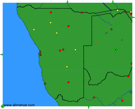
To change the map : click on the green buttons with a black cross to zoom in, on the green button with a dash to zoom out, or on the green arrows for adjacent maps.