METAR-TAF
Airports :
Sir Seretse Khama International Airport
Gaborone, Botswana
latitude: 24-13S, longitude: 025-55E, elevation: 1005 m
Current weather observation
The report was made 34 minutes ago, at 14:00 UTC
Wind 6 kt from the South, varying between East/Southeast and South/Southwest
Temperature 25°C
Humidity 17%
Pressure 1020 hPa
Visibility 10 km or more
no clouds below 1500 m and no cumulonimbus
METAR: FBSK 281400Z 18006KT 120V210 CAVOK 25/M02 Q1020 NOSIG
Time: 16:34 (14:34 UTC)
Forecast
The report was made 4 hours and 34 minutes ago, at 10:00 UTC
Forecast valid from 28 at 12 UTC to 29 at 18 UTC
Wind 4 kt from the South
Visibility 10 km or more
no clouds below 1500 m and no cumulonimbus
Becoming
from 28 at 18 UTC to 28 at 20 UTC
from 28 at 18 UTC to 28 at 20 UTC
Wind 3 kt from the West
Becoming
from 29 at 03 UTC to 29 at 05 UTC
from 29 at 03 UTC to 29 at 05 UTC
Wind 7 kt from the East
TAF: FBSK 281000Z 2812/2918 18004KT CAVOK BECMG 2818/2820 28003KT BECMG 2903/2905 08007KT
Weather observations and forecasts of more than 4000 airports (METAR and TAF reports).
The available stations are represented by yellow and red dots on the map.
Hover mouse over dot to see the name of the station.
Then click to see weather observations and forecasts.
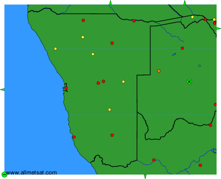
To change the map : click on the green buttons with a black cross to zoom in, on the green button with a dash to zoom out, or on the green arrows for adjacent maps.