METAR-TAF
Airports :
Victoria Falls Airport
Victoria Falls, Zimbabwe
latitude: 18-06S, longitude: 025-51E, elevation: 1061 m
Current weather observation
METAR: FVFA 041200Z 06013KT 9999 BKN025TCU 28/20 Q1015 NOSIG
Time: 15:17 (13:17 UTC)
Forecast
Broken clouds at a height of 9000 ft
from 04 at 07 UTC to 04 at 09 UTC
from 04 at 11 UTC to 04 at 17 UTC
Scattered clouds at a height of 4000 ft
from 04 at 18 UTC to 04 at 20 UTC
from 05 at 06 UTC to 05 at 08 UTC
Broken clouds at a height of 9000 ft
TAF: FVFA 040400Z 0406/0512 09010KT 9999 BKN010 BKN090 BECMG 0407/0409 SCT025 PROB30 TEMPO 0411/0417 8000 -TSRA FEW035CB SCT040 BECMG 0418/0420 VRB04KT CAVOK BECMG 0506/0508 09009KT 9999 BKN020 BKN090
Weather observations and forecasts of more than 4000 airports (METAR and TAF reports).
The available stations are represented by yellow and red dots on the map.
Hover mouse over dot to see the name of the station.
Then click to see weather observations and forecasts.
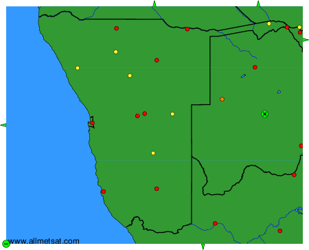
To change the map : click on the green buttons with a black cross to zoom in, on the green button with a dash to zoom out, or on the green arrows for adjacent maps.