METAR-TAF
Airports :
Keetmanshoop Airport
Keetmanshoop, Namibia
latitude: 26-32S, longitude: 018-07E, elevation: 1067 m
Current weather observation
The report was made 29 minutes ago, at 23:00 UTC
Wind 3 kt from the West/Northwest
Temperature 13°C
Humidity 47%
Pressure 1021 hPa
METAR: FYKT 272300Z AUTO 30003KT //// // ////// 13/02 Q1021
Time: 01:29 (23:29 UTC)
Forecast
The report was made 1 hour and 29 minutes ago, at 22:00 UTC
Forecast valid from 28 at 00 UTC to 29 at 00 UTC
Wind 3 kt from the North/Northwest
Visibility 10 km or more
no clouds below 1500 m and no cumulonimbus
From 28 at 0300 UTC
Wind kt from the North
Visibility 10 km or more
no clouds below 1500 m and no cumulonimbus
Becoming
from 28 at 13 UTC to 28 at 15 UTC
from 28 at 13 UTC to 28 at 15 UTC
Wind 6 kt from the South/Southwest
TAF: FYKT 272200Z 2800/2900 34003KT CAVOK FM280300 00000KT CAVOK BECMG 2813/2815 21006KT
Weather observations and forecasts of more than 4000 airports (METAR and TAF reports).
The available stations are represented by yellow and red dots on the map.
Hover mouse over dot to see the name of the station.
Then click to see weather observations and forecasts.
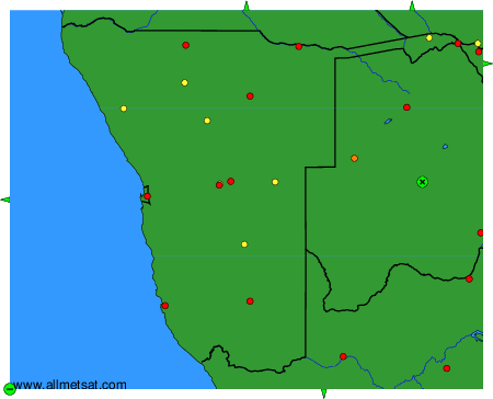
To change the map : click on the green buttons with a black cross to zoom in, on the green button with a dash to zoom out, or on the green arrows for adjacent maps.