METAR-TAF
Airports :
Merced
Bishop
Boulder City
Bridgeport
Carson City
Cedar City
Colorado City
Delta
Elko
Ely
Eureka
Fallon
Fresno
Fresno
Hanford
Henderson
Indian Springs
Las Vegas
Lemoore
Lovelock
Madera
Mammoth Lakes
Mercury
Milford
Minden
Nellis
North Las Vegas
Porterville
Reno
Reno
South Lake Tahoe
St. George
Tonopah
Truckee
Visalia
Wendover
Winnemucca
Nevada
Arizona
California, North
California, South
Idaho
North America
Oregon
Utah
Castle Airport Merced, California, United States
latitude: 37-22N, longitude: 120-34W, elevation: 187 ft
Current weather observation The report was made 37 minutes ago, at 03:55 UTC
Wind 26 mph from the South/Southeast with gusts up to 40 mph
Temperature
Pressure
Visibility: 8 miles
METAR: KMER 250355Z 15023G35KT 8SM CLR
Time: 20:32 (04:32 UTC) Forecast The report was made 2 hours and 22 minutes ago, at 02:10 UTC
Forecast valid from 25 at 02 UTC to 25 at 24 UTC
Wind 17 mph from the Southeast with gusts up to 29 mph
Visibility: 6 miles
Scattered clouds at a height of 4000 ft Broken clouds at a height of 7000 ft
showers in vicinity
From 25 at 0600 UTC
Wind 17 mph from the South/Southeast with gusts up to 30 mph
Visibility: 6 miles
Scattered clouds at a height of 4000 ft Broken clouds at a height of 7000 ft
light rain showers, mist
From 25 at 0800 UTC
Wind 20 mph from the South/Southeast with gusts up to 35 mph
Visibility: 5 miles
Broken clouds at a height of 7000 ft
light rain showers, mist
From 25 at 1200 UTC
Wind 22 mph from the Southeast with gusts up to 38 mph
Visibility: 4 miles
Overcast at a height of 3500 ft
light rain showers, mist
From 25 at 1800 UTC
Wind 18 mph from the South/Southeast with gusts up to 29 mph
Visibility: 3 miles
Overcast at a height of 3500 ft
light rain showers, mist
TAF: KMER 250210Z 2502/2524 14015G25KT P6SM VCSH SCT040 BKN070 FM250600 15015G26KT 6SM -SHRA BR SCT040 BKN070 FM250800 15017G30KT 5SM -SHRA BR BKN070 FM251200 14019G33KT 4SM -SHRA BR OVC035 FM251800 15016G25KT 3SM -SHRA BR OVC035
Weather observations and forecasts of more than 4000 airports (METAR and TAF reports).
The available stations are represented by yellow and red dots on the map.
Hover mouse over dot to see the name of the station.
Then click to see weather observations and forecasts.
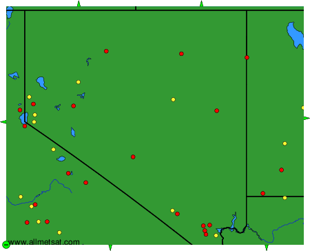
To change the map : click on the green buttons with a black cross to zoom in, on the green button with a dash to zoom out, or on the green arrows for adjacent maps.