METAR-TAF
Airports :
Naval Air Station Fallon
Fallon, Nevada, United States
latitude: 39-25-56N, longitude: 118-41-08W, elevation: 1199 m
Current weather observation
Overcast at a height of 9500 ft
METAR: KNFL 171757Z COR 21017G26KT 10SM SCT060 OVC095 06/M14 A2960 RMK AO2 PK WND 21038/1706 SLP010 60000 T00561139 10056 20011 58001 PNO $
Time: 10:54 (18:54 UTC)
Forecast
Broken clouds at a height of 11000 ft
Broken clouds at a height of 16000 ft
Broken clouds at a height of 11000 ft
Broken clouds at a height of 16000 ft
Broken clouds at a height of 12000 ft
Broken clouds at a height of 18000 ft
from 17 at 21 UTC to 18 at 03 UTC
Broken clouds at a height of 6000 ft
Broken clouds at a height of 8000 ft
Broken clouds at a height of 12000 ft
Broken clouds at a height of 6000 ft
Broken clouds at a height of 12000 ft
TAF: KNFL 1715/1815 21011G18KT 9999 SCT060 BKN110 BKN160 QNH2955INS FM171600 21018G28KT 9999 SCT060 BKN110 BKN160 520009 540907 QNH2954INS FM171800 22024G36KT 9999 VCSHSN SCT060 BKN120 BKN180 640009 650904 520009 540907 QNH2945INS TEMPO 1721/1803 4800 SN BKN040 BKN060 FM180300 22012G22KT 8000 -SHSN BKN040 BKN080 BKN120 640009 650904 520009 540907 QNH2946INS FM181200 VRB06KT 9999 SCT040 BKN060 BKN120 QNH2950INS 600000 500000 TX06/1720Z TNM02/1715Z FS30198
Weather observations and forecasts of more than 4000 airports (METAR and TAF reports).
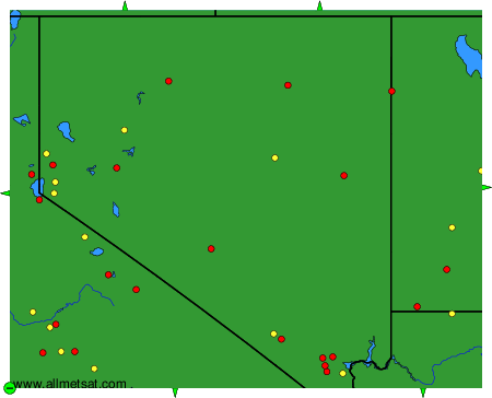
The available stations are represented by yellow and red dots on the map.
Hover mouse over dot to see the name of the station.
Then click to see weather observations and forecasts.

To change the map : click on the green buttons with a black cross to zoom in, on the green button with a dash to zoom out, or on the green arrows for adjacent maps.