METAR-TAF
Airports :
Nouméa Magenta Airport
Nouméa, New Caledonia
latitude: 22-15-30S, longitude: 166-28-22E, elevation: 3 m
METAR: missing
Time: 21:07 (10:07 UTC)
Forecast
The report was made 16 hours and 7 minutes ago, at 18:00 UTC
Forecast valid from 26 at 19 UTC to 27 at 19 UTC
Wind 2 kt from variable directions
Visibility 10 km or more
Few clouds at a height of 4000 ft
Becoming
from 26 at 22 UTC to 26 at 24 UTC
from 26 at 22 UTC to 26 at 24 UTC
Wind 14 kt from the Southeast
Probability 30% :
Temporary
from 27 at 04 UTC to 27 at 16 UTC
from 27 at 04 UTC to 27 at 16 UTC
Visibility: 4500 m
light rain showers,
TAF: NWWM 261800Z 2619/2719 VRB02KT 9999 FEW040 BECMG 2622/2624 14014KT PROB30 TEMPO 2704/2716 4500 -SHRA
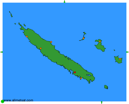
Weather observations and forecasts of more than 4000 airports (METAR and TAF reports).
The available stations are represented by yellow and red dots on the map.
Hover mouse over dot to see the name of the station.
Then click to see weather observations and forecasts.
To change the map : click on the green buttons with a black cross to zoom in, on the green button with a dash to zoom out, or on the green arrows for adjacent maps.