METAR-TAF
Airports :
La Tontouta International Airport
Nouméa / La Tontouta, New Caledonia
latitude: 22-01S, longitude: 166-13E, elevation: 16 m
Current weather observation
The report was made 8 minutes ago, at 19:00 UTC
Wind 2 kt from the East
Temperature 14°C
Humidity 88%
Pressure 1020 hPa
Visibility 10 km or more
no clouds below 1500 m and no cumulonimbus
METAR: NWWW 281900Z AUTO 10002KT CAVOK 14/12 Q1020 NOSIG
Time: 06:08 (19:08 UTC)
Forecast
The report was made 2 hours and 8 minutes ago, at 17:00 UTC
Forecast valid from 28 at 18 UTC to 29 at 18 UTC
Wind 2 kt from variable directions
Visibility 10 km or more
Scattered clouds at a height of 4500 ft
Becoming
from 28 at 23 UTC to 29 at 01 UTC
from 28 at 23 UTC to 29 at 01 UTC
Wind 14 kt from the Southeast
Becoming
from 29 at 06 UTC to 29 at 08 UTC
from 29 at 06 UTC to 29 at 08 UTC
Wind 2 kt from variable directions
TAF: NWWW 281700Z 2818/2918 VRB02KT 9999 SCT045 BECMG 2823/2901 13014KT BECMG 2906/2908 VRB02KT
Weather observations and forecasts of more than 4000 airports (METAR and TAF reports).
The available stations are represented by yellow and red dots on the map.
Hover mouse over dot to see the name of the station.
Then click to see weather observations and forecasts.
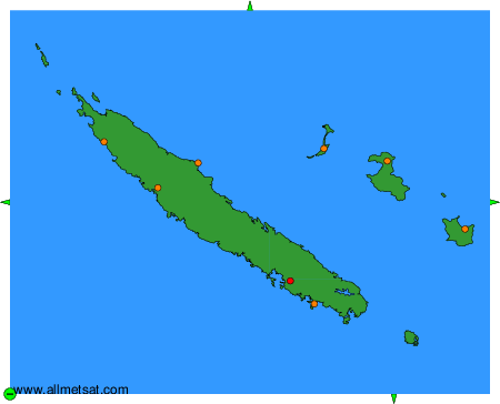
To change the map : click on the green buttons with a black cross to zoom in, on the green button with a dash to zoom out, or on the green arrows for adjacent maps.