latitude: 43-06-33N, longitude: 076-06-12W, elevation: 420 ft
Current weather observation
The report was made 1 hour and 0 minutes ago, at 17:54 UTC
Wind 8 mph from the Southwest
Temperature 86°F
Humidity 43%
Pressure 29.91 in. Hg
Visibility: 10 miles
Scattered clouds at a height of 5500 ft Scattered clouds at a height of 7500 ft Scattered clouds at a height of 17000 ft Broken clouds at a height of 20000 ft Broken clouds at a height of 26000 ft
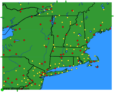
Weather observations and forecasts of more than 4000 airports (METAR and TAF reports).
The available stations are represented by yellow and red dots on the map.
Hover mouse over dot to see the name of the station.
Then click to see weather observations and forecasts.
To change the map : click on the green buttons with a black cross to zoom in, on the green button with a dash to zoom out, or on the green arrows for adjacent maps.