METAR-TAF
Airports :
Wellington International Airport
Wellington, New Zealand
latitude: 41-20S, longitude: 174-48E, elevation: 12 m
Current weather observation
The report was made 10 minutes ago, at 07:30 UTC
Wind 8 kt from the North/Northeast
Temperature 8°C
Humidity 76%
Pressure 1023 hPa
Visibility 10 km or more
METAR: NZWN 120730Z AUTO 03008KT 9999 NCD 08/04 Q1023
Time: 19:40 (07:40 UTC)
Forecast
The report was made 2 hours and 39 minutes ago, at 05:01 UTC
Forecast valid from 12 at 06 UTC to 13 at 12 UTC
Wind 5 kt from the North
Visibility 10 km or more
no clouds below 1500 m and no cumulonimbus
Becoming
from 12 at 16 UTC to 12 at 18 UTC
from 12 at 16 UTC to 12 at 18 UTC
Wind 15 kt from the North
Becoming
from 12 at 22 UTC to 12 at 24 UTC
from 12 at 22 UTC to 12 at 24 UTC
Wind 20 kt from the North with gusts up to 30 kt
TAF: NZWN 120501Z 1206/1312 36005KT CAVOK BECMG 1216/1218 35015KT BECMG 1222/1224 35020G30KT
Weather observations and forecasts of more than 4000 airports (METAR and TAF reports).
The available stations are represented by yellow and red dots on the map.
Hover mouse over dot to see the name of the station.
Then click to see weather observations and forecasts.
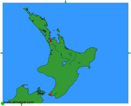
To change the map : click on the green buttons with a black cross to zoom in, on the green button with a dash to zoom out, or on the green arrows for adjacent maps.