METAR-TAF
Airports :
Wellington International Airport
Wellington, New Zealand
latitude: 41-20S, longitude: 174-48E, elevation: 12 m
Current weather observation
METAR: NZWN 201130Z AUTO 34021G36KT 9999 OVC011/// 16/14 Q1014
Time: 23:59 (11:59 UTC)
Forecast
from 20 at 12 UTC to 20 at 14 UTC
from 20 at 13 UTC to 20 at 16 UTC
Scattered clouds at a height of 4000 ft
from 20 at 18 UTC to 21 at 02 UTC
from 21 at 01 UTC to 21 at 03 UTC
from 21 at 02 UTC to 21 at 07 UTC
from 21 at 02 UTC to 21 at 06 UTC
Scattered clouds at a height of 2000 ft, Towering cumulus.
TAF: NZWN 201103Z 2012/2118 34020G45KT 9999 BKN012 BECMG 2012/2014 35015KT 6000 RA TEMPO 2013/2016 3000 +RA BKN007 FM201800 18005KT 9999 FEW010 SCT040 TEMPO 2018/2102 BKN010 BECMG 2101/2103 18015KT TEMPO 2102/2107 6000 SHRA BKN008 PROB30 TEMPO 2102/2106 3000 +SHRA BKN006 SCT020TCU
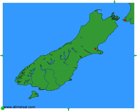
Weather observations and forecasts of more than 4000 airports (METAR and TAF reports).
The available stations are represented by yellow and red dots on the map.
Hover mouse over dot to see the name of the station.
Then click to see weather observations and forecasts.
To change the map : click on the green buttons with a black cross to zoom in, on the green button with a dash to zoom out, or on the green arrows for adjacent maps.